SOUTH ARDMORE /ARDMORE PARK
The history of South Ardmore begins with that of Ardmore. The area was originally named Athensville in 1853. With the arrival of the railroads the Welsh owners gave the towns along their route Welsh names. Athensville became Ardmore in 1873.
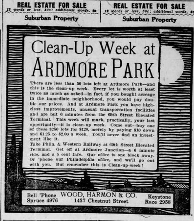
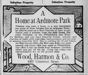
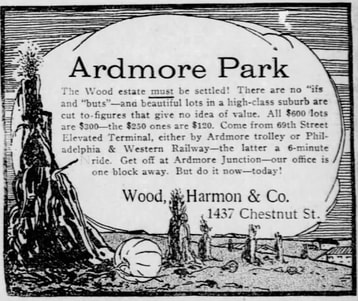
The development of Ardmore Park begins alongside the development of Beechwood. Early advertisements for property sites begin just prior to the opening of the P&W Line. The advertisements note that the line will soon be running with just a short commute to City Hall
The development of Ardmore Park begins alongside the development of Beechwood. Early advertisements for property sites begin just prior to the opening of the P&W Line. The advertisements note that the line will soon be running with just a short commute to City Hall
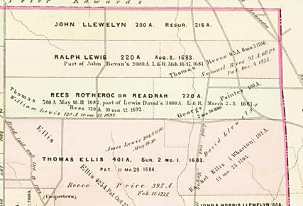
The Beginning. Early Patents under William Penn
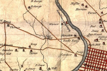
Scull and Heap Map of 1753
The proportions may be distorted. The central identifiable point is the Saw Mill at the bottom of the current Mill Road and Karakung Creek, the present P&W power house.
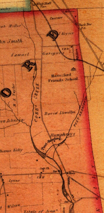
The Ash Map, 1848
Haverford College is listed as The Haverford School. Humphreys own Pont Reading.
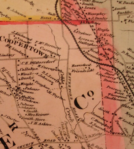
1868
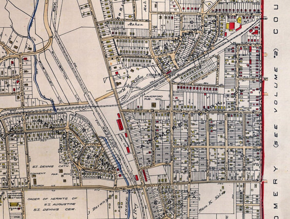
Smaller properties appear along Darby Road. What will become South Ardmore / Ardmore Park is still broad acreage. Church Road is today's Eagle Road. St. Denis is marked by a small cross.
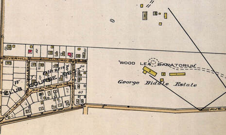
Wood Lea Sanitarium, 1908
Wood Lea Sanitarium was organized September 1, 1908, by Dr. Grace E. White. The sanitarium was located at 300 Ardmore Avenue, Ardmore, Pa. (If the numbers were the same, the site would be at the corner of Darby Road and Ardmore Avenue. }
It is surrounded by 30 acres of land, six of which are mature woodland, through which a small brook runs, adding to the picturesqueness of the grounds. Part consists of lawn and garden, part is under cultivation as an extensive kitchen garden, and part is under pasture.
The house, a pleasant dwelling house of the old English style of architecture, is situated on a slight knoll, so that drainage and ventilation are satisfactory. It has accommodations for 10 patients. A stable is comprised in the group of buildings, and also an extensive chicken run.

|
|
1906
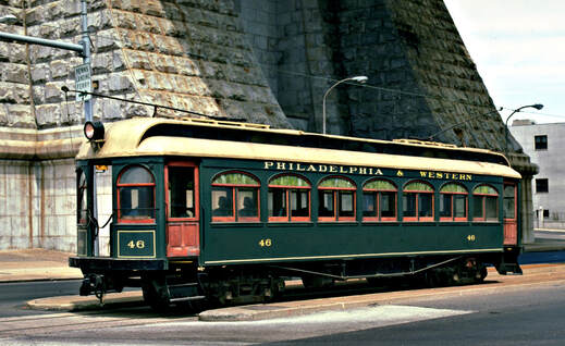
The Philadelphia and Western and the Development of Ardmore Park.
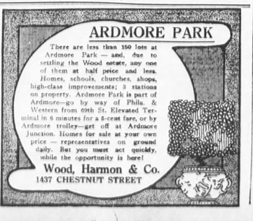
As the ad states, "Which Do You Prefer. the Hot, City Street or the Airy, Healthful Suburb?
At this point, the P&W was an upcoming service to be in operation within the year. Very little sales resulted from these advertisements. While Llanerch and Beechwood developed in these early years, Ardmore Park like Brookline did not grow until the 1920's.
At this point, the P&W was an upcoming service to be in operation within the year. Very little sales resulted from these advertisements. While Llanerch and Beechwood developed in these early years, Ardmore Park like Brookline did not grow until the 1920's.
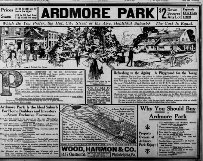
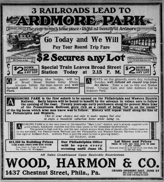
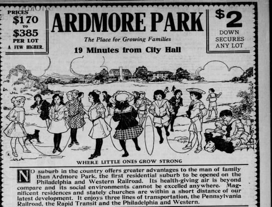
In the 1906 ad lots went from $170 to $385. In this advertisement they are down to $120.
1914
|
|
1929
Houses are still relatively few.
Above Ardmore Park is the H. Mahon Plan which clearly has more built sites than Ardmore Park.
The Haverford Public School on Lorraine Avenue is today's Chestnutwold School.
(image needed)
The Haverford Public School on Lorraine Avenue is today's Chestnutwold School.
(image needed)
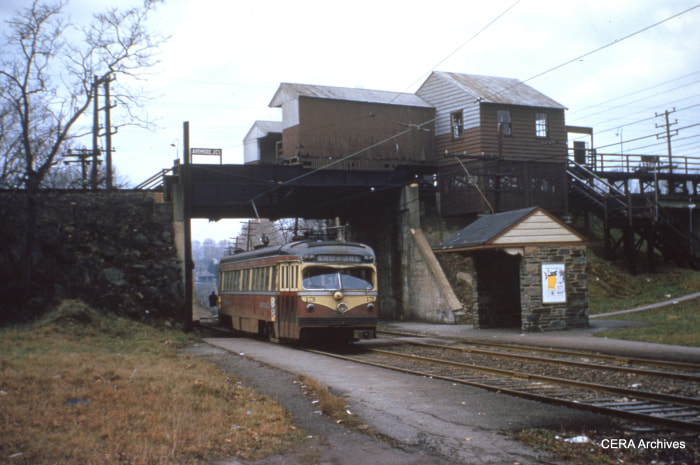
The Red Arrow Lines
Ardmore Junction, 1954 ( from https://ceramembersblog.wordpress.com/2013/11/27/the-last-interurban-abandonment/
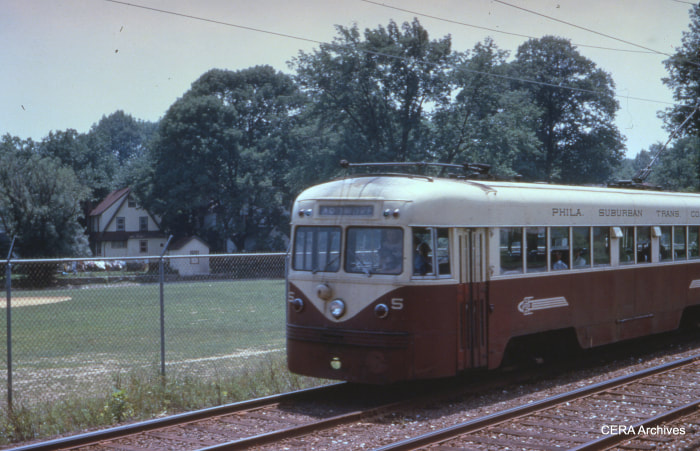
1952