MAPS
Maps tell us so much about our history. The maps that follow narrate the story of Harford from William Penn's Welsh Quakers to the real estate developments of the early 20th century and the post-war tract houses.
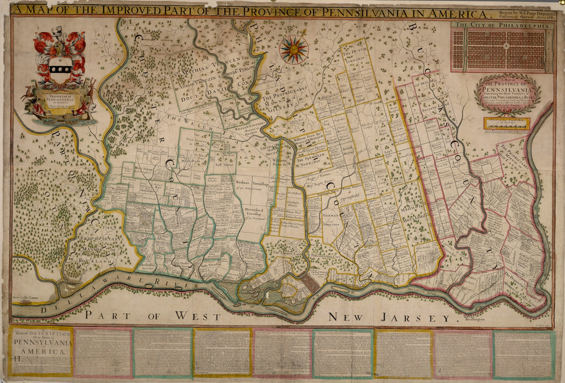
A Map of the Improved Part of the Province of Pennsilvania in America
begun by Wil. Penn, Proprietary & Governour thereof anno 1681
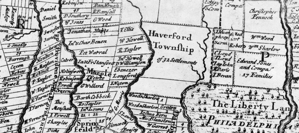
Detail of the above map : Haverford Township of 32 Settlements
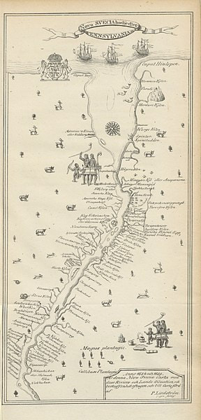
Lindstrom's Map of New Sweden and Pennsylvania
The Delaware is shown upside down. The Delaware Bay is at the top.
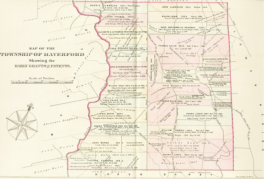
Reconstruction of Original Grants
See each neighborhood for the detailed appropriate section.
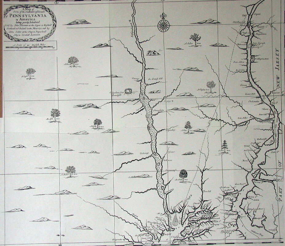
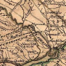
1681 Thornton and Seller
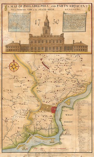
A Map of Philadelphia and Parts Adjacent With a Perspective View of the State-House.
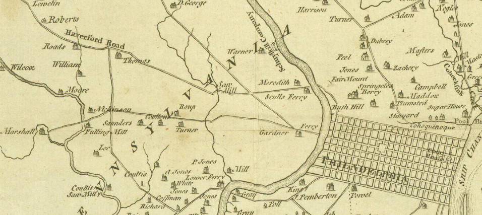
Detail of the 1750 map showing a saw mill on Cobbs Creek (Karakung) just under the "A" at the crook in the Haverford Road. The location seems to be the present intersection of Eagle Road. The road below with the crook would be Mill Road.
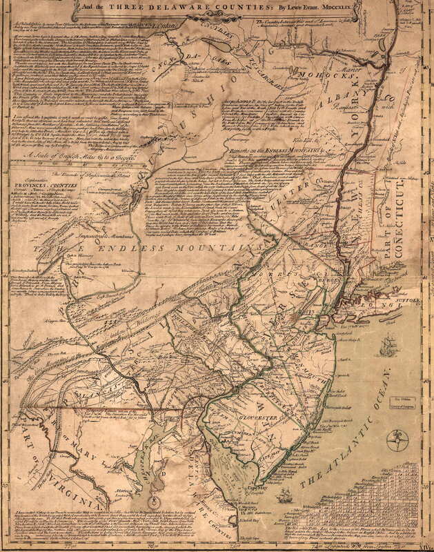
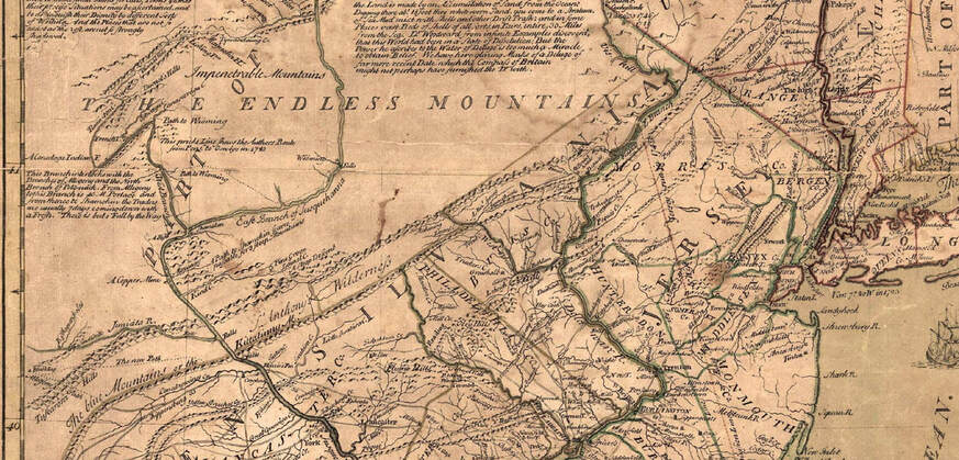
1749 Three Delaware Counties
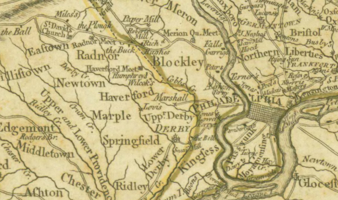
Detail showing Haverford, New T and Merrion.
Note the identifications on this close-up: The Endless Mountains and just above to the left, Impenetrable Mountains. Below in what appears to be a valley, St. Anthony's Wilderness. (Reference here is to St. Anthony of Egypt, 251 - 365 AD, who left the world to live alone in the desert.)
1775
Curiously, the area opposite Radnor/Haverford, is called "Blockley," present day Ardmore, Bryn Mawr. Darby has the original spelling, "Derby," which was pronounced "Darby."
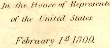
John Hill map 1808
1808 John Hill Map
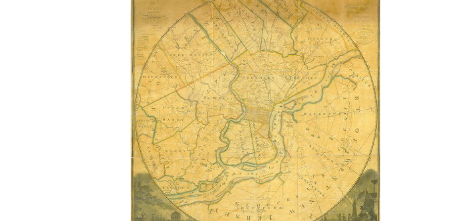
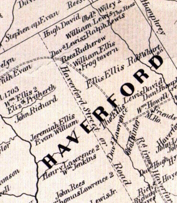
Detail of Haverford Township
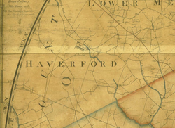
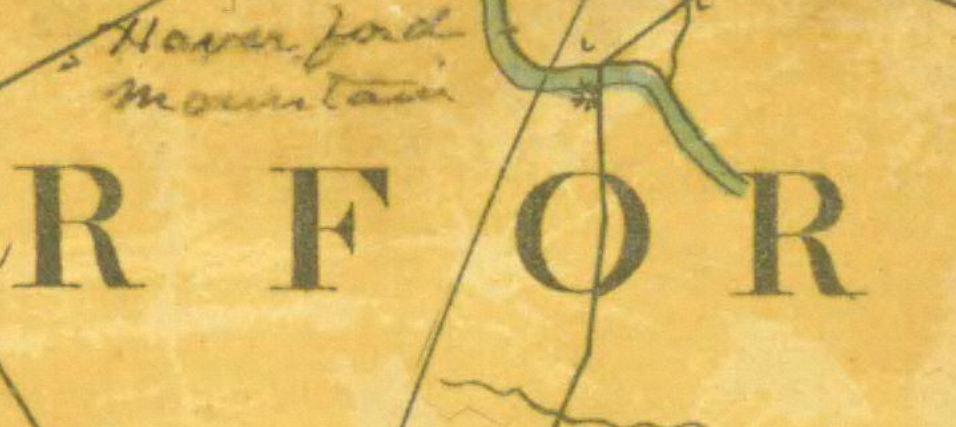
Detail of the 1808 John Hill map showing Haverford Mountain
1822: showing Guineatown, the neighborhood of the first free African Americans in Haverford Township.
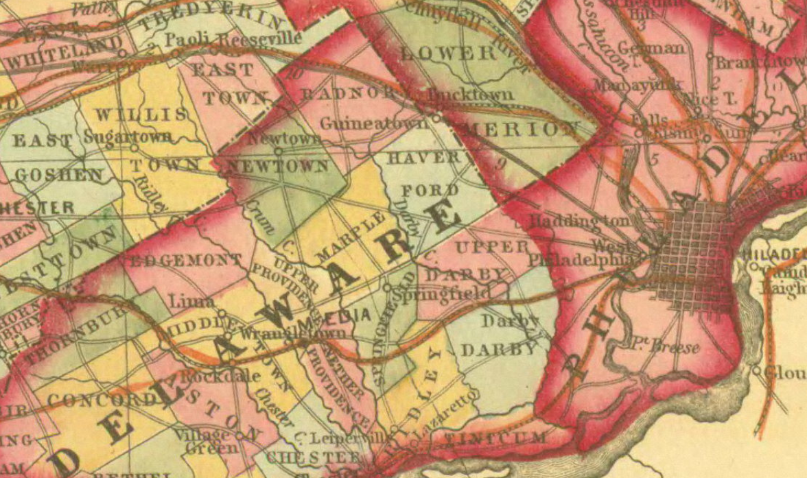
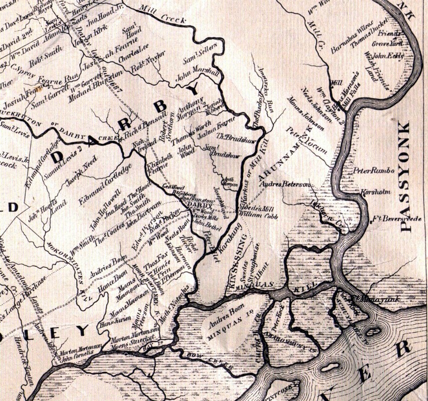
1862 Haverford Township and Darby Township
On the Darby Township map we see the name "Karakung" the Indian name for the creek that was later named for William Cobb. The upper portion is called Mill Creek. Just above the "B" is the name Rob't Naylor who gave his name to that creek, sometimes referred to as "the Run." Darby Creek is called by its original Indian name, "Muckruton."
c.1865
Ardmore, which is still called "Athens" does not change its name until 1873. The mills, most of which are operated by Dennis Kelly, are noted along Karakung Creek.
1870

After 1900
Maps after 1900 are readily available from several sites. Some are listed below.
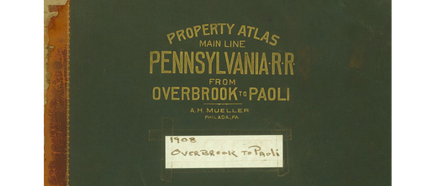
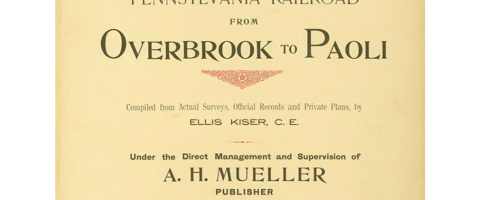
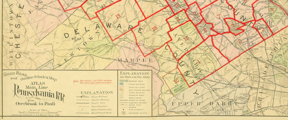
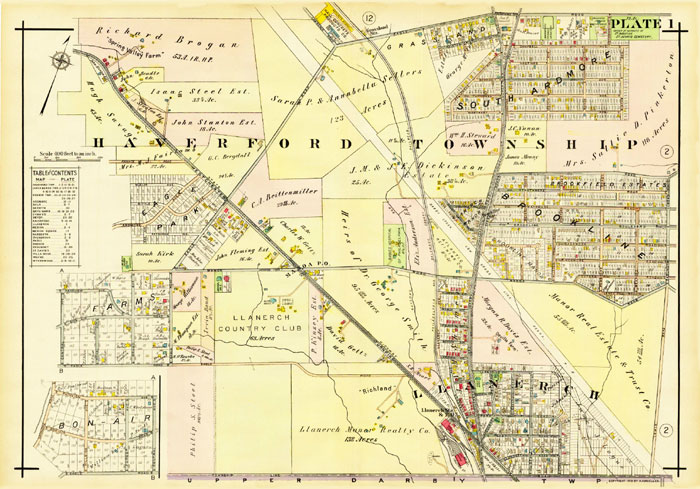
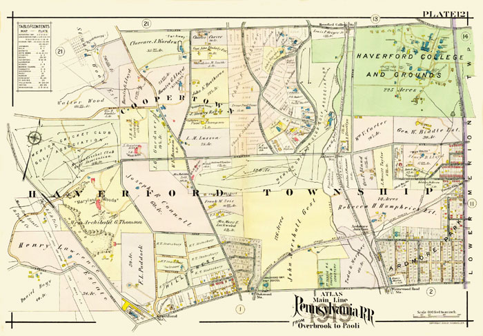
Main Line Atlas: Overbrook to Paoli, 1908
https://www.philageohistory.org/rdic-images/view-image.cfm/MUE1908.OverbrookToPaoli.001.Coverwww.philageohistory.org/rdic-images/view-image.cfm/MUE1908.OverbrookToPaoli.001.Cover
|
|
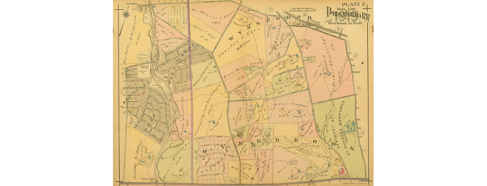
Atlas of Properties on Main Line Pennsylvania Railroad from Overbrook to Paoli, 1920
Further Refereces
http://www.mapsofpa.com/article3.htm an excellent resource for antique maps which provided some of the early maps featured here.